
According to the Cambridge Dictionary, the topography of a given area refers to “the physical appearance of the natural features of an area of land, especially the shape of its surface.” When the experienced professionals at CalVada conduct a topographic survey, it allows the owner of the plot to understand the existing conditions, contours, elevations, and points of interest within that location. It’s important for new or prospective property owners to have a well-rounded understanding of the features of their property. More than just property owners, engineers, developers, architects, and telecommunication providers all rely on the information from these surveys to understand how they may proceed with any changes to a property.
Our team will provide an initial consultation with you about your concerns and areas of interest about the property. From there, our team will conduct the survey and collect the required data.
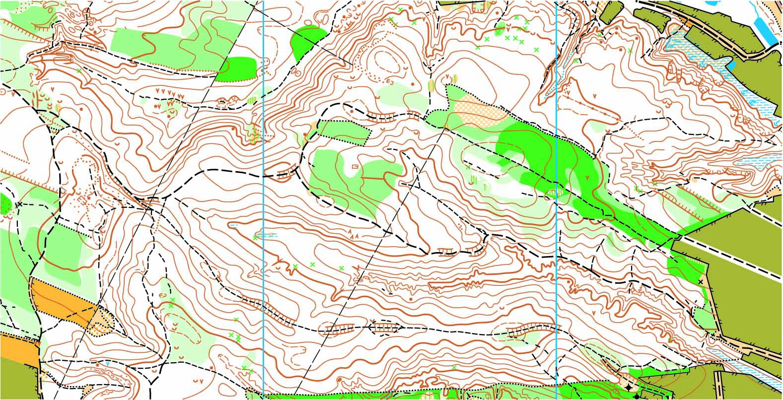
Once collected, this data is processed by our office staff to produce a high-quality AutoCAD image of the space. Exhibits or maps can be prepared in PDF format that provide a clean and precise visual of the site’s existing conditions. These findings are then provided to the client.
To learn more about topographic surveys, please contact us at (800) CALVADA or visit www.calvada.com.