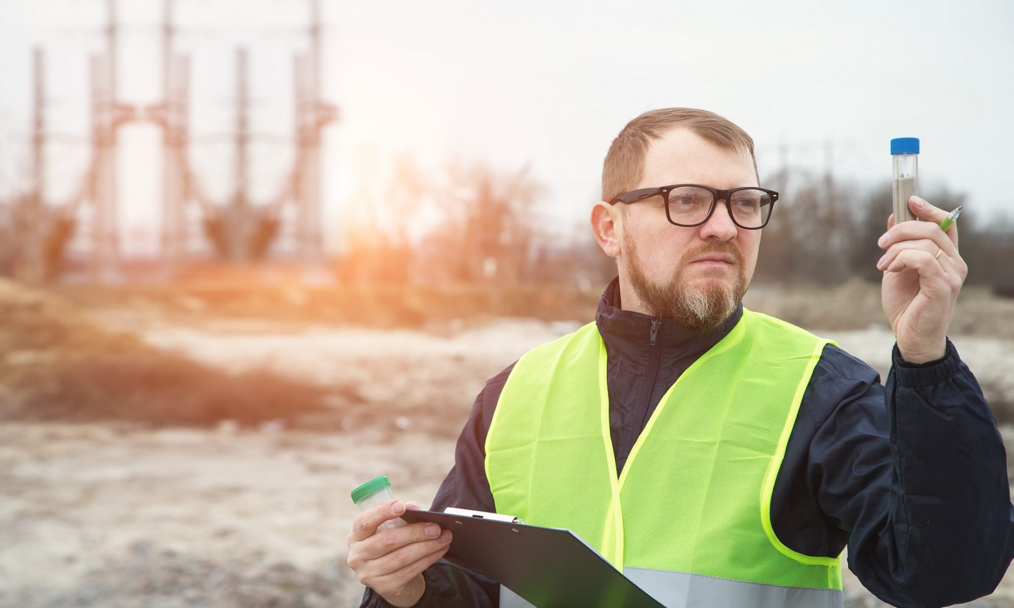
Environmental surveys play a crucial role in safeguarding our natural resources, particularly when it comes to monitoring groundwater quality and flow. Groundwater sampling and well surveying are integral components of these surveys, serving distinct yet complementary purposes in environmental assessment and management.
Continue reading “The Role of Groundwater Sampling and Well Surveying | Corona, CA”ALTA/NSPS Land Title Surveys: Ensuring a Smooth Real Estate Transaction | Corona, CA
In the realm of real estate transactions, ensuring clear property titles and boundaries is paramount. This is where ALTA/NSPS Land Title Surveys come into play, serving as a vital tool for both buyers and lenders in evaluating the property’s worth and potential risks. ALTA, short for American Land Title Association, and NSPS, National Society of Professional Surveyors, have collaborated to create a standardized survey that provides a comprehensive overview of a property’s characteristics.
Continue reading “ALTA/NSPS Land Title Surveys: Ensuring a Smooth Real Estate Transaction | Corona, CA”What To Know About Topographic Surveys | Corona, CA
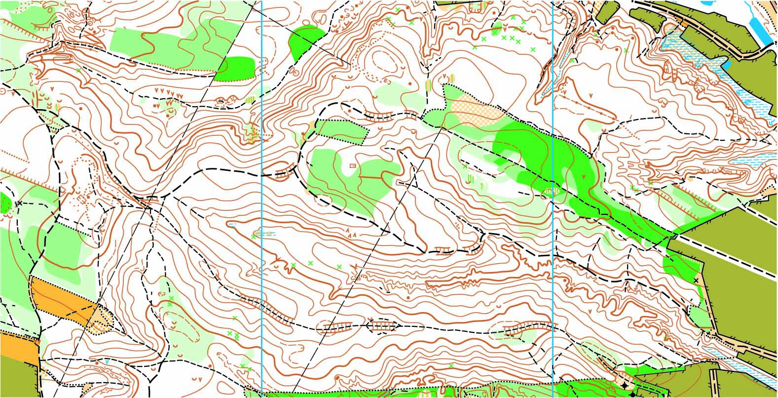
According to the Cambridge Dictionary, the topography of a given area refers to “the physical appearance of the natural features of an area of land, especially the shape of its surface.” When the experienced professionals at CalVada conduct a topographic survey, it allows the owner of the plot to understand the existing conditions, contours, elevations, and points of interest within that location. It’s important for new or prospective property owners to have a well-rounded understanding of the features of their property. More than just property owners, engineers, developers, architects, and telecommunication providers all rely on the information from these surveys to understand how they may proceed with any changes to a property.
Continue reading “What To Know About Topographic Surveys | Corona, CA”The Role of Boundary Surveys | Corona, CA
Boundary surveys are taken to locate and mark the boundaries of a given property. It allows the property owner an opportunity to identify encroachments, ensure things like fences or walls are properly located and have a record of their property for future reference.
When you work with the experienced professionals at Calvada to perform your boundary survey, we begin by acquiring all the preliminary information available so we may research, review, and perform pre-calculations. A field crew will then search for existing monuments in the surrounding area and conduct survey measurements.
Once this data has been gathered, we analyze the field data and records to determine the perimeters of the boundary. Upon determination, our field crew heads out to set the property corners and prepare a Record of Survey for the client. This process provides the client with a detailed understanding of the in-ground monuments at the property corners, and the county surveyor with an official copy of the Record of Survey.
We provide our clients with the peace of mind that comes with industry-leading professionals conducting the highest-quality boundary surveys possible.
To learn more about topographic surveys, please contact us at (800) CALVADA or visit www.calvada.com.
Calvada proudly serves Corona and all surrounding areas.
LiDAR Mapping and High-Definition Surveys | Corona, CA
High-definition LiDAR mapping is utilized by a variety of disciplines offering improved worker safety, higher accuracy of survey data, and rapid project turnaround. LiDAR mapping and high-definition surveys are terrestrial non-intrusive means of collecting accurate and detailed as-built data, benefitting individuals in the planning, engineering, and construction fields.
LiDAR utilizes the latest cutting-edge scanning technology to sweep across a target object as hundreds of thousands of measurements are taken, displaying an intense representation of the target result. Once captured, these results can be evaluated much like a physical 3D model. This method is revolutionizing the industry, and is doing so more quickly, and at a lower cost than traditional surveying techniques. It also enhances surveyor safety for those working on projects in which data is needed along heavily trafficked highways.
Our team of experienced professionals utilizes the most advanced scanning technology, providing our clients with the data they need in a way that also saves them valuable time and money as they move through their process.
To learn more about LIDAR mapping and high-definition surveys, please contact us at (800) CALVADA or visit www.calvada.com.
Calvada proudly serves Corona and all surrounding areas.


