
When speaking about geographic information systems, or GIS, this information system is used to store and manage geographic data collected in the field or gathered from other data sources, such as satellite imagery, demographics, population statistics, tax parcels, road networks, land use/land cover maps, etc. This software can be used to create more spatial data by digitizing roads, buildings and streams viewed on maps or imagery. Relational databases are useful for answering queries to extract information from the data.
There is more geographic data available today than ever before, thanks to high-powered scanners, robotic total stations, large-format aerial cameras, satellites, drones, etc. Without geographic information systems, managing this large volume of data would be an impossible task, and the full value of the information could easily be overlooked.
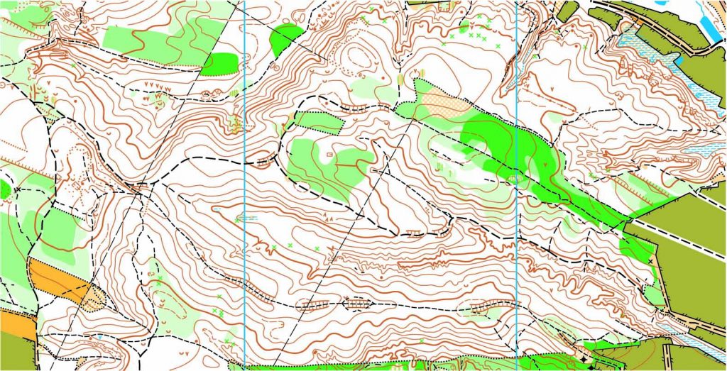
Land surveyors use GIS to improve efficiency and facilitate project planning before they start. Reviewing zoning, road networks and environmentally sensitive areas or researching historical maps can be part of the pre-field work investigation. During a project, surveyors use GIS to monitor progress of their own data collection efforts to avoid data gaps.
In a different context, the term GIS can also mean Geographic Information Science, which refers to the science behind the data structures and computational techniques that allow geographic information systems to collect, store and manage data. In 2006, the American Association of Geographers released the Geographic Information Science and Technology Body of Knowledge (GIS&T BoK). Used as a foundation for geospatial curriculum, the BoK records all areas of knowledge and abilities that make up the field of geospatial technology still updated to this day.
To find out more about geographic information systems, please contact us at (800) CALVADA or visit www.calvada.com.
Calvada proudly serves Corona and all surrounding areas.