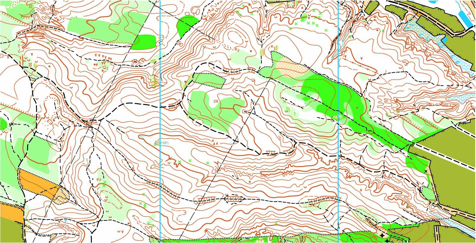
The topography of a space refers to the arrangement of the natural and artificial physical features of an area. Conducting a survey on that area allows one to understand the existing conditions of a site, the contours, locations, and elevations of the space.
The Role it Plays
Conducting a topographic survey before starting any kind of change to the site is paramount to your ability to do so properly. Engineers, developers, architects, and telecommunication providers all rely on the information provided by a topographic survey to understand how they must proceed with any desired improvements you seek.
How Cal Vada can Help
When you work with the experienced professionals on the Cal Vada team, our surveyors will visit the site and employ the highest quality methods with the latest technology. Our team will establish the horizontal and vertical controls of the space, and locate all surface improvements such as curbs and gutters, as well as all other improvements that may exist on the site. In an open space, we will observe surface contours and underground pipe invert elevations for all drain inlets, storm drain manholes, and sewer manholes.
Once collected, this data is processed by our office staff to produce a high-quality AutoCAD Civil 3D image of the space. Exhibits are prepared in PDF format which provides a clean and precise vision of the site’s existing conditions.
To learn more about topographic surveys, please contact us at (800) CALVADA or visit www.calvada.com.
Calvada proudly serves Corona and all surrounding areas.


