
You’ve seen them on the side of the road or in a random dirt field, their tripod in hand and a fluorescent vest. It’s a wonder what they are doing and why they are doing what they are doing. These folks are land surveyors and what they are doing is surveying land in order to determine the terrestrial or three-dimensional positions of points and distances and angles between them. This is done establish maps and boundaries for ownership, locations, etc.
In a lot of cases, land surveyors will be hired to determine where the property lines are located. However, there are other reasons why land may be surveyed. But what? Let’s take a quick look at what a land surveyor in 2020 is doing.
Land surveying is useful when:
- Purchasing a new home.
- Settling a dispute.
- Adding onto your home.
They’ll use the existing historical data and markers to determine the precise measurements of your property and then record those with the county recorder’s office, becoming a matter of public record. These individuals manage the legal and historical implications of their work in addition to spending a lot of time walking your property on foot with markers to help determine the edges of your property.
But not all land surveyors have the same process:
- Construction or engineering studies the changes in property lines and identify the location of buildings and roads with exactness.
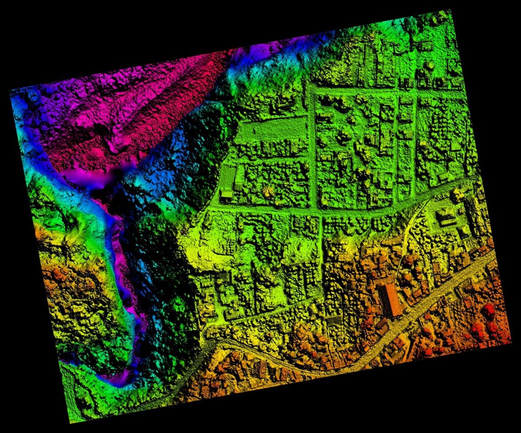
- Geodetic uses satellite and aerial imaging to measure large portions of the Earth.
- Boundary or land surveying will determine where the property lines are located.
As you can see, not all surveyors are the same and which you need to hire depends on what type of project you are working on.
To find out more about hiring a land surveyor, please contact us at (800) CALVADA or visit www.calvada.com.
Calvada proudly serves Corona and all surrounding areas.