The Role of Boundary Surveys | Corona, CA

topographic map

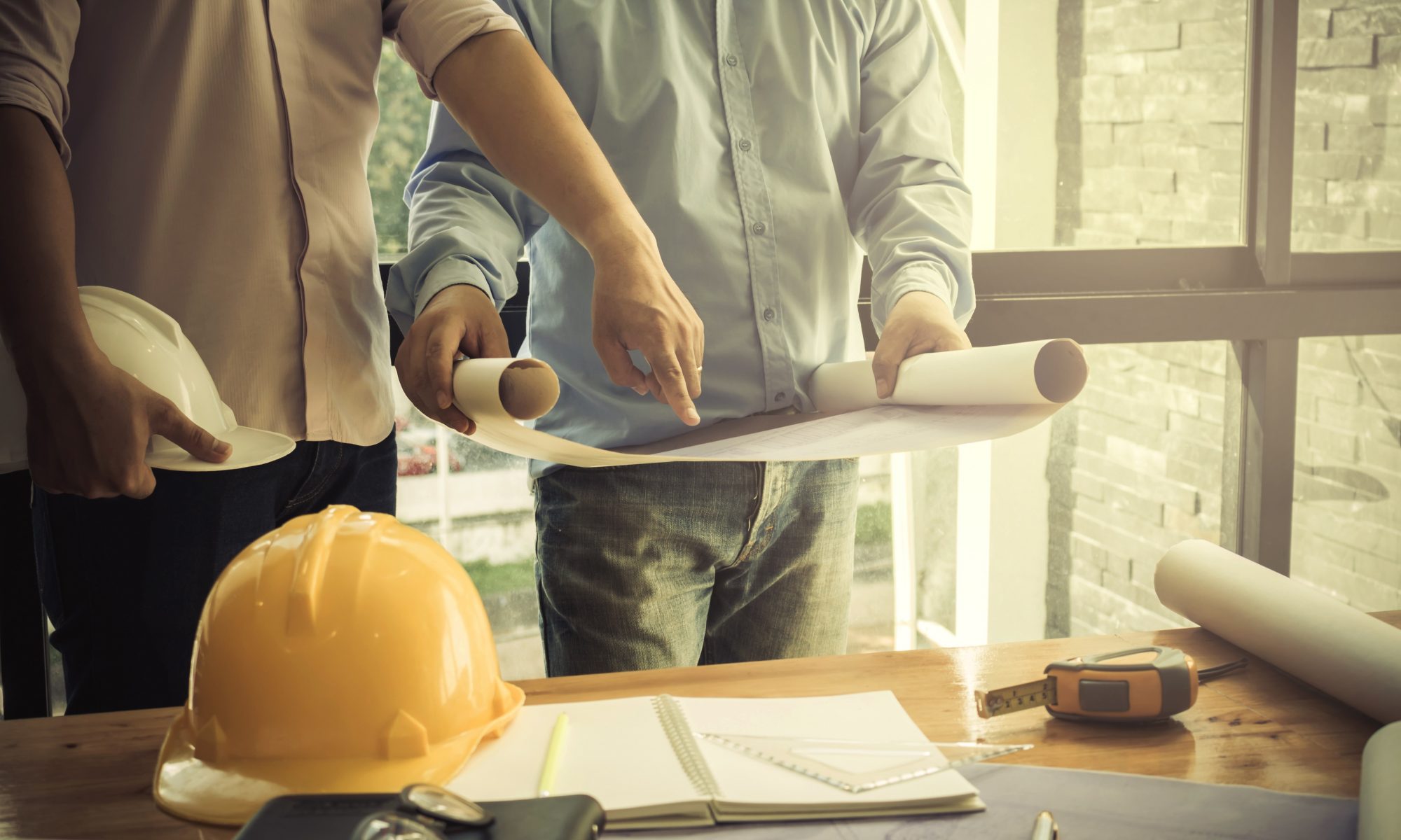
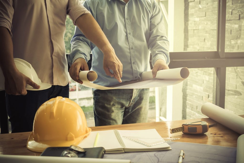
Boundary surveys are taken to locate and mark the boundaries of a given property. It allows the property owner an opportunity to identify encroachments, ensure things like fences or walls are properly located and have a record of their property for future reference.

When you work with the experienced professionals at Calvada to perform your boundary survey, we begin by acquiring all the preliminary information available so we may research, review, and perform pre-calculations. A field crew will then search for existing monuments in the surrounding area and conduct survey measurements.

Once this data has been gathered, we analyze the field data and records to determine the perimeters of the boundary. Upon determination, our field crew heads out to set the property corners and prepare a Record of Survey for the client. This process provides the client with a detailed understanding of the in-ground monuments at the property corners, and the county surveyor with an official copy of the Record of Survey.

We provide our clients with the peace of mind that comes with industry-leading professionals conducting the highest-quality boundary surveys possible.

To learn more about topographic surveys, please contact us at (800) CALVADA or visit www.calvada.com.

Calvada proudly serves Corona and all surrounding areas.

The Importance and Process of Boundary Surveys | Corona, CA

image of the architectural project engineer. Vintage tone and engineering tools in the workplace.

Boundary surveys arguably provide one of the most important pieces of information a prospective property owner can gather. When properly performed, a boundary survey will allow a current or prospective property owner to understand the exact coordinates of their property line so he or she may build their structure with confidence and identify potential encroachments. Not only would an owner not want to extend beyond their property line, but should someone encroach upon theirs, the results of this survey may become an important piece of evidence in court.

So, how are boundary surveys conducted? Our team of experienced professionals begins by acquiring all the necessary documentation required to conduct research and pre-calculations. Once they have a general understanding of the area, a field crew visits the site to assess existing monumentation and conduct survey measurements. That information is then passed along to our office staff to review and determine boundary coordinates. The results of that determination then go back to the field crew who then set the property’s corners and prepare a Record of Survey.

The Record of Survey is then filed with the County Surveyor and results are provided to the property owner. We pride ourselves on providing high-quality boundary mapping services. Our clients can proceed with confidence knowing that their property corners are located accurately.

To learn more about boundary surveys, please contact us at (800) CALVADA or visit www.calvada.com.

Calvada proudly serves Corona and all surrounding areas.

Boundary vs. Topographic Surveys | Corona, CA

When you are preparing to purchase, sell or develop land, it is important to get a survey done in order to know exactly what you’re getting into. But which survey is the one that you need? Here is what you need to know about boundary and topographic surveys:

Boundary surveys. A boundary survey plots out the boundary lines of a parcel of land in order to provide specific information about where the property ends and where it begins. In addition to pinning down the precise boundary lines, many types of boundary surveys provide extra information, such as:

  • The locations of any easements (permissions to enter or cross the property, such as for utilities)
  • Encroachments, or improvements on other properties that intrude into the plot
  • Limitations, including zoning regulations

Certain boundary surveys, such as ALTA/NSPS surveys, will include even more information in accordance with ALTA and NSPS standards.

Topographic surveys. One bit of information that many boundary surveys do not provide is topographical data, or the elevations and contours of the land described in the deed, both man-made and natural. This is especially useful for those who intend to develop the land since it gives detailed information on where different features are located, including:

  • Trees
  • Slopes, hills, valleys, and other changes in elevation
  • Streams and rivers
  • Buildings
  • Streets and walkways
  • Utility poles
  • Manholes
  • Fences and walls

The elevations on the land are shown on a map as contour lines. Construction contractors, engineers, and architects use this type of map to design and plan improvements to the land.

To find out more about boundary and topographic surveys, please contact us at (800) CALVADA or visit www.calvada.com.

Calvada proudly serves Corona and all surrounding areas.

The Importance of Getting an ALTA Survey | Corona, CA

When you buy property, it is important to make a thorough assessment of what exactly you are purchasing. Not only to have peace of mind about what you’re buying, but because the bank and title companies will likely expect it. This is easily done by having an ALTA survey done on the plot of land. Once you fully know what you are buying, it will also be easier to build. Here are more benefits of getting an ALTA survey:

Verify a purchase. When you buy a property, you and your lender will have to make sure that the property is worth the proposed amount and is free of problems. If the survey gives a negative report, you can make decisions accordingly prior to finalizing.

Depicting easement size and location. Having adequate knowledge of easements on the property you acquire is important and an ALTA survey will reveal these details.

Locating improvements and encroachments. An ALTA survey depicts all the buildings and structures existing on a property, every property improvement and any encroachment of other people’s property.

Property access. When you buy a property, knowing the routes to your property is important. A survey will show all roads, alleys, highways, and routes that grant access, impeding structures that restrict access and other necessary easements.

Help identify and locate utilities. Whatever might be the reason for you wanting to buy a property, you will want to know if the property has the utilities you require and this can be done by showing all the utilities on the property and their various locations.

To find out more about ALTA surveys, please contact us at (800) CALVADA or visit www.calvada.com.

Calvada proudly serves Corona and all surrounding areas.

Hiring a Land Surveyor | Corona, CA

When you need to have a land survey done, it can be a daunting task to someone who has no idea what it entails. Its time to hire a professional to ensure that it is done with accuracy and skill. Here are some of the more common questions to ask when hiring a land surveyor.

Can I do my own property survey?

You can complete your own surveys when you measure how much space you have to build a deck or patio. There’s certainly no law against checking how much space you have within your own property. What you can’t do is measure your own property and use those findings as legal documents. Since property is an expensive asset, only licensed professionals can conduct legal surveys to determine legal boundaries that affect property value. Professional surveyors are also skilled and trained at evaluating difficult terrain for construction projects as requested by engineers and lenders.

What does a land survey include?

It depends on the kind of land survey you choose. Most homeowners need a boundary survey that identifies the exact locations of their boundaries with a legal description. They’ll also include any right-of-way access or other easements. More extensive surveys like topography or ALTA surveys assess the terrain, ground stability, natural and manufactured features, and property rights. Do your research and ask questions.

Is a land survey more expensive for a bigger plot of land?

In general, yes. It costs anywhere from $50 to $500 per acre to conduct a survey, but that’s also dependent on how complex the terrain is. Some surveyors may charge a flat fee for a home in a standard-size subdivision, but any unusual or large properties will cost more to survey.

To find out more about hiring a land surveyor, please contact us at (800) CALVADA or visit www.calvada.com.

Calvada proudly serves Corona and all surrounding areas.