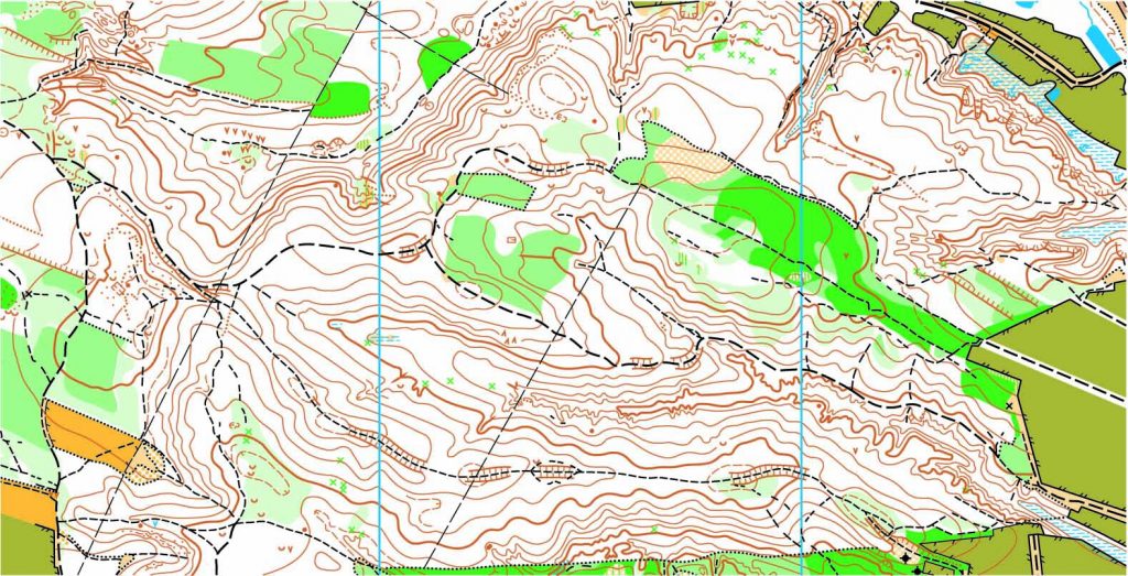
We all know that in order to develop land, you need to know the boundary lines in which you can expand and what kind of land you are trying to develop. This is when a land survey comes in handy. Not only do surveys help plot out the land but surveyors are used in the design and planning of said land to make room for things like roads, utilities and landscaping. It may seem like a new concept, but surveys have been needed since the beginning of civilization.
Land surveys have dated back thousands of years to Egyptian surveyors dividing land along the Nile River and Australian surveyors trying to design their early settlements. Even famous explorers like Burke and Wills used their surveying background in their work. Yes, the tools and equipment may have changed over the years, but we’ve needed land surveying for as long as we’ve had land to develop.
But why are they so intricate to creating our structures? It isn’t just about plotting open spaces to place buildings and other structures upon. Surveyors work with lots of other important industries like engineering, geology, architecture and planning in order to create a successful construction site. They measure the land and map it all out before anyone even steps foot on the site. These findings are given to the architects, who create a blueprint based on the needs of the client. Once complete, engineers use those plans to create a structure that will be successful based on the land available. So, as you can see, land surveys are the environmental trackers of structural design.
To find out more about considering a land survey, please contact us at (800) CALVADA or visit www.calvada.com.
Calvada proudly serves Corona and all surrounding areas.

