Boundary vs. Topographic Surveys | Corona, CA

When you are preparing to purchase, sell or develop land, it is important to get a survey done in order to know exactly what you’re getting into. But which survey is the one that you need? Here is what you need to know about boundary and topographic surveys:

Boundary surveys. A boundary survey plots out the boundary lines of a parcel of land in order to provide specific information about where the property ends and where it begins. In addition to pinning down the precise boundary lines, many types of boundary surveys provide extra information, such as:

  • The locations of any easements (permissions to enter or cross the property, such as for utilities)
  • Encroachments, or improvements on other properties that intrude into the plot
  • Limitations, including zoning regulations

Certain boundary surveys, such as ALTA/NSPS surveys, will include even more information in accordance with ALTA and NSPS standards.

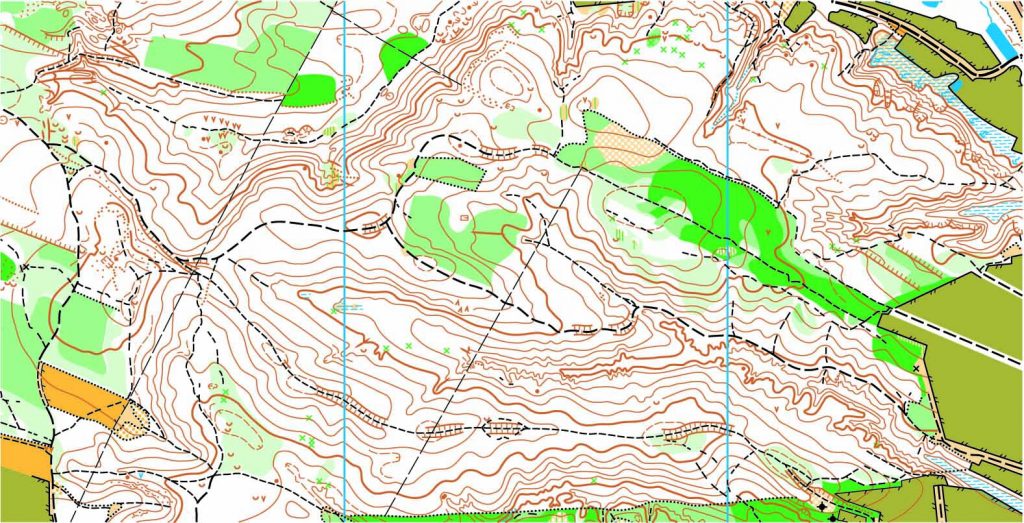
Topographic surveys. One bit of information that many boundary surveys do not provide is topographical data, or the elevations and contours of the land described in the deed, both man-made and natural. This is especially useful for those who intend to develop the land since it gives detailed information on where different features are located, including:

  • Trees
  • Slopes, hills, valleys, and other changes in elevation
  • Streams and rivers
  • Buildings
  • Streets and walkways
  • Utility poles
  • Manholes
  • Fences and walls

The elevations on the land are shown on a map as contour lines. Construction contractors, engineers, and architects use this type of map to design and plan improvements to the land.

To find out more about boundary and topographic surveys, please contact us at (800) CALVADA or visit www.calvada.com.

Calvada proudly serves Corona and all surrounding areas.

What Is the Importance of a Topographical Survey? | Corona, CA

A topographic survey is different from other surveys by studying and measuring the surface of the land. Topographical survey measurements are carried out using both GPS or Global Positioning System and Electronic Distance Metering (EDM). The parcel elevation is shown on the map of the survey via contour lines representing the Earth’s surface’s contours and also via elevations at different spots on the map.

The topographic surveys refer to both natural and human-constructed surface characteristics such as storage walls, gas lines, wells, trees, lakes, closed spaces, buildings, utility poles, etc.

But who really needs a survey like this? Architects could use this type of survey for the construction of a 3D plot of their design. If a building site is limited by significant topographical challenges, such as steep grades, existing man-made structures or other problematic conditions, a topographical inspection is ideal in order to ensure that the design proposed will work under these conditions before construction starts.

Government agencies also use topographical surveys to produce, implement, evaluate existing infrastructure, carry out required revisions and consider environmental projects, and implement the Construction and Zoning Regulations.

And yes, these types of industries would definitely need something like this, but how about the average layman? Do these surveys come in handy? Yes. If you are planning a garden or what to do with some property you own, this survey aims primarily to gather data on the characteristics of the land and its altitude.

Topographic surveys for changes in ownership of the property or land, known also as contour surveys, must be conducted before the owner makes changes. Safety is also an extremely important reason for topographic surveys. Inaccurate, incomplete or old underground records may jeopardize your projects.

To find out more about topographical surveys, please contact us at (800) CALVADA or visit www.calvada.com.

Calvada proudly serves Corona and all surrounding areas.