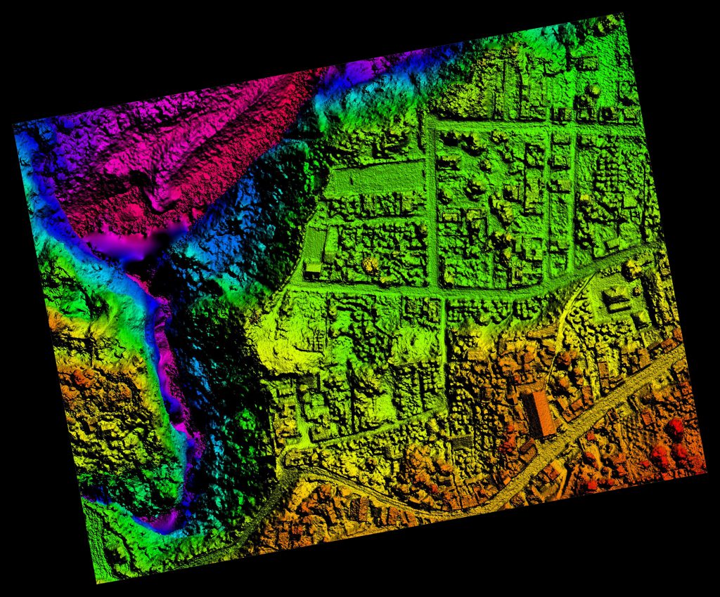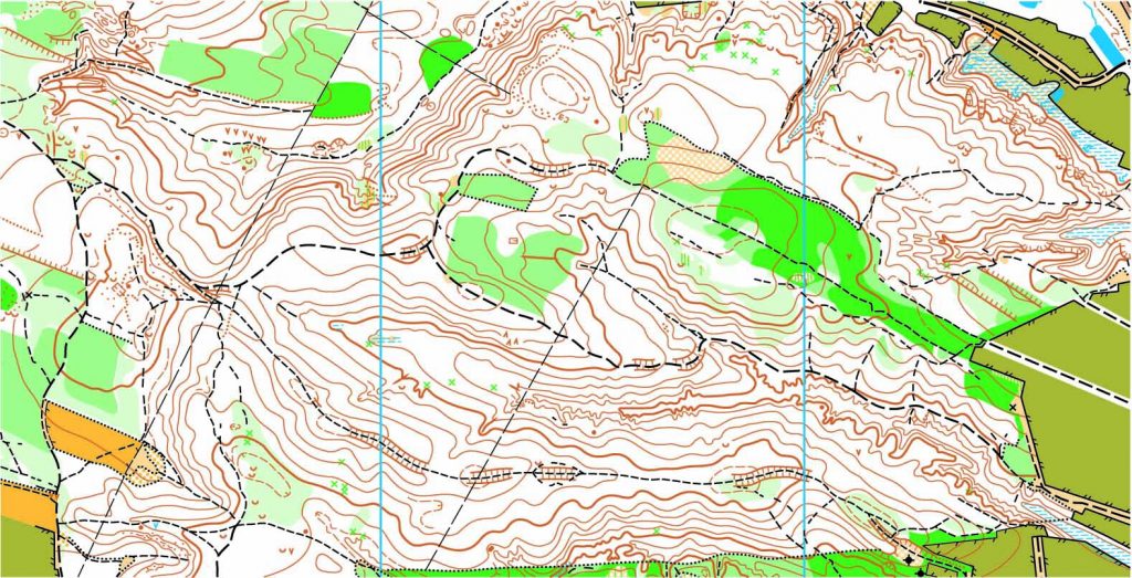
In this day and age, it is important that we do everything we can to create a more sustainable way of living on this planet. This being said, when designing or constructing a building, a bridge, a water pipeline or any infrastructure asset, it is important to get a land survey to find out if what you’d like to develop is actually feasible.
A land survey is generally required when designing or constructing structures such as buildings, roads, parking lots, utility corridors, or athletic fields, etc. Why? Because these surveys can give detailed account of horizontal and vertical dimensions and elevations of the structure in question, and also show above ground attributes such as utilities, access roads, parking spaces, fences, etc. More specifically, land survey deliverables for the Environmental Industry include:
- Geotracker surveys on newly installed groundwater monitoring wells
- Earth quantity calculations used to determine the amount of contaminated dirt to be removed
- Topographic surveys for any environmental infrastructure design project
- Construction staking for any environmental project that is being built from the ground up
To find out more about land surveys, please contact us at (800) CALVADA or visit www.calvada.com.
Calvada proudly serves Corona and all surrounding areas.


