What Are ALTA/ NSPS Land Title Surveys? | Corona, CA

Adult man the ecologist. He studies the problems of ecology arising from the removal of construction debris and soil contamination.

The American Land Title Association (ALTA) and the National Society of Professional Surveyors (NSPS) require surveys to be conducted so they may assist title companies, lenders, and borrowers identify the potential risks of investing in a given property. As such, the requirements for these surveys include defining the boundaries of the property, easements, existing improvements, flood zones, general zoning, parking, encumbrances, and potential encroachments. These are all risks that any property can be subjected to, and the ALTA and NSPS are unable to provide their clients with the advice they seek without a thorough understanding of these details. That is where the experienced professionals at CalVada can help.

The results of the survey must be acceptable to a title insurance company if they are to properly insure a given property. This means that the property must be free and clear of matters (except that disclosed by the survey and indicated on the accompanying plat or map), and that specific and pertinent information be clearly communicated between all interested parties.

Our experienced professionals understand the requirements that need to be met for the proper evaluation of a property, ensuring your survey is accepted the first time.

To learn more about topographic surveys, please contact us at (800) CALVADA or visit www.calvada.com.

Calvada proudly serves Corona and all surrounding areas.

What is a Telecommunication Survey? | Corona, CA

image of the architectural project engineer. Vintage tone and engineering tools in the workplace.

Telecommunication surveys are namely conducted for the telecommunications industry. They are conducted to understand the existing conditions of a particular space and locate telecommunications structures and equipment.


These particular surveys are conducted so interested parties such as architects, engineers, and telecommunication providers can create a site plan. Site plans inform such parties of particular points of interest they should account for the plan, and to ensure they acquire the certifications necessary to properly proceed with their intended use of the space.


This data is paramount, as it informs how best to orient, build or modify telecommunication structures and utilities. How our team of experienced professionals conducts a Telecommunications Survey is not dissimilar to a topographic survey, commonly employed by landowners seeking to construct or modify their space for residential or commercial use. Our surveyors begin with a visit to the site, where they establish horizontal and vertical controls that serve as the basis of future work.

They locate surface improvements such as buildings, curbs, sidewalks, and gutters, to name a few. Once this data has been collected, our office staff utilizes this information to provide the client with a high-quality AutoCAD Civil 3D image of the data. It serves as a precise visual of the site’s existing conditions so their team can efficiently navigate the next steps of their intended use of the space.


To learn more about topographic surveys, please contact us at (800) CALVADA or
visit  www.calvada.com.


Calvada proudly serves Corona and all surrounding areas.

Topographic Surveying: A Guide | Corona, CA

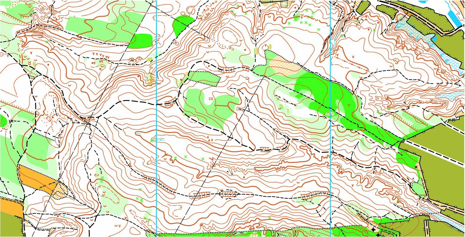
topographic map

The topography of a space refers to the arrangement of the natural and artificial physical features of an area. Conducting a survey on that area allows one to understand the existing conditions of a site, the contours, locations, and elevations of the space.

The Role it Plays

Conducting a topographic survey before starting any kind of change to the site is paramount to your ability to do so properly. Engineers, developers, architects, and telecommunication providers all rely on the information provided by a topographic survey to understand how they must proceed with any desired improvements you seek.

How Cal Vada can Help

When you work with the experienced professionals on the Cal Vada team, our surveyors will visit the site and employ the highest quality methods with the latest technology. Our team will establish the horizontal and vertical controls of the space, and locate all surface improvements such as curbs and gutters, as well as all other improvements that may exist on the site. In an open space, we will observe surface contours and underground pipe invert elevations for all drain inlets, storm drain manholes, and sewer manholes.

Once collected, this data is processed by our office staff to produce a high-quality AutoCAD Civil 3D image of the space. Exhibits are prepared in PDF format which provides a clean and precise vision of the site’s existing conditions.

To learn more about topographic surveys, please contact us at (800) CALVADA or visit www.calvada.com.

Calvada proudly serves Corona and all surrounding areas.

The Importance and Process of Boundary Surveys | Corona, CA

image of the architectural project engineer. Vintage tone and engineering tools in the workplace.

Boundary surveys arguably provide one of the most important pieces of information a prospective property owner can gather. When properly performed, a boundary survey will allow a current or prospective property owner to understand the exact coordinates of their property line so he or she may build their structure with confidence and identify potential encroachments. Not only would an owner not want to extend beyond their property line, but should someone encroach upon theirs, the results of this survey may become an important piece of evidence in court.

So, how are boundary surveys conducted? Our team of experienced professionals begins by acquiring all the necessary documentation required to conduct research and pre-calculations. Once they have a general understanding of the area, a field crew visits the site to assess existing monumentation and conduct survey measurements. That information is then passed along to our office staff to review and determine boundary coordinates. The results of that determination then go back to the field crew who then set the property’s corners and prepare a Record of Survey.

The Record of Survey is then filed with the County Surveyor and results are provided to the property owner. We pride ourselves on providing high-quality boundary mapping services. Our clients can proceed with confidence knowing that their property corners are located accurately.

To learn more about boundary surveys, please contact us at (800) CALVADA or visit www.calvada.com.

Calvada proudly serves Corona and all surrounding areas.
How Weather Can Affect Your Land Survey | Corona, CA

When it comes to land surveying, there are plenty of obstacles that can come into play during a typical day at work. One of these obstacles is the weather, especially during the winter season. It may seem like living in Southern California, an area that is 95% sunny day, wouldn’t be an issue, but you would be surprised – we have our own set of weather issues.

In the spring season, rain can always be an issue, and even though it isn’t a common occurrence, the sporadic nature of our rain season can make things tricky. Dressing appropriately will not only keep you dry, but also safe. And the same goes for your equipment. Because surveying is an outdoor job, everything and everyone needs to be protected. After the rain comes mud, so additional caution needs to be paid in work zones.

If you work in the winter season, there is a chance you may be working in snowy conditions. The problem is that it is likely covering up what you need to be surveying, like dangerous obstacles and essential sights such as property corners, flagging, and downed fences that you need to see to be able to complete your work.

Some may think the job is easier in this sunny climate, but the sun can often play tricks by creating shadows where you don’t want them. And let’s face it – the Santa Ana winds are a strong force to reckon with. Not only is it tough to stand in one place, but a workstation can easily become unlevel. Surveying is all about working around Mother Nature’s plans.

Remember: We may live in Southern California, the land of sunny days, but it can become quite extreme. You and your equipment have their limits.

To find out more about how weather can affect land surveys, please contact us at (800) CALVADA or visit www.calvada.com.

Calvada proudly serves Corona and all surrounding areas.