What Exactly Constitutes Land Surveying? | Corona, CA

Any department or agency of the state or any city, county, or city and county that has an unregistered person in responsible charge of land surveying work on January 1, 1986, shall be exempt from the requirement that the person be licensed as a land surveyor until such time as the person currently in responsible charge is replaced.

The review, approval, or examination by a governmental entity of documents prepared or performed pursuant to this section shall be done by, or under the direct supervision of, a person authorized to practice land surveying.

An excerpt [2] from Section §8771 of the State of California Business & Professions Code (Land Surveyors Act): 8726. Land surveying defined

A person, including any person employed by the state or by a city, county, or city and county within the state, practices land surveying within the meaning of this chapter who, either in a public or private capacity, does or offers to do any one or more of the following:

(a) Locates, relocates, establishes, reestablishes, or retraces the alignment or elevation for any of the fixed works embraced within the practice of civil engineering, as described in Section 6731.

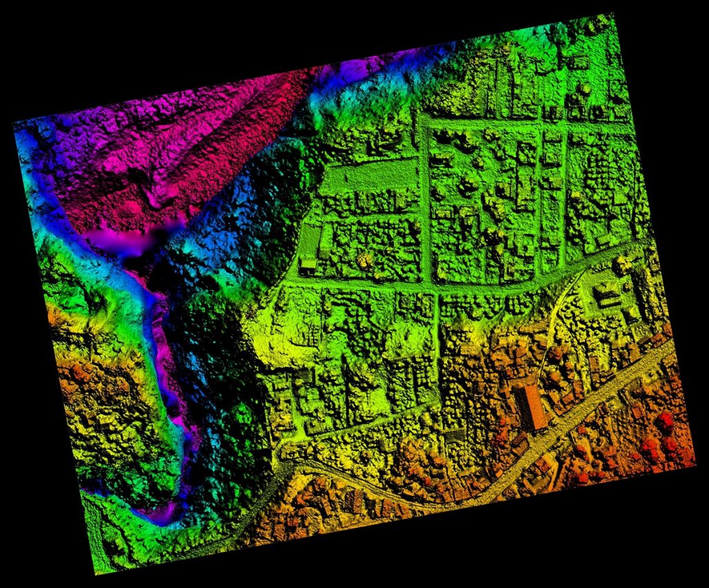
(b) Determines the configuration or contour of the earth’s surface, or the position of fixed objects above, on, or below the surface of the earth by applying the principles of mathematics or photogrammetry.

(c) Locates, relocates, establishes, reestablishes, or retraces any property line or boundary of any parcel of land, right-of-way, easement, or alignment of those lines or boundaries.

(d) Makes any survey for the subdivision or resubdivision of any tract of land. For the purposes of this subdivision, the term “subdivision” or “resubdivision” shall be defined to include, but not limited to, the definition in the Subdivision Map Act (Division 2 (commencing with Section 66410) of Title 7 of the Government Code) or the Subdivided Lands Law (Chapter 1 (commencing with Section 11000) of Part 2 of Division 4 of this Code).

(e) By the use of the principles of land surveying determines the position for any monument or reference point which marks a property line, boundary, or corner, or sets, resets, or replaces any such monument or reference point.

(f) Geodetic or cadastral surveying. As used in this chapter, geodetic surveying means performing surveys, in which account is taken of the figure and size of the earth to determine or predetermine the horizontal or vertical positions of fixed objects thereon or related thereto, geodetic control points, monuments, or stations for use in the practice of land surveying or for stating the position of fixed objects, geodetic control points, monuments, or stations by California Coordinate System coordinates.

(g) Determines the information shown or to be shown on any map or document prepared or furnished in connection with any one or more of the functions described in subdivisions (a), (b), (c), (d), (e), and (f).

(h) Indicates, in any capacity or in any manner, by the use of the title “land surveyor” or by any other title or by any other representation that he or she practices or offers to practice land surveying in any of its branches.

(i) Procures or offers to procure land surveying work for himself, herself, or others.

(j) Manages, or conducts as manager, proprietor, or agent, any place of business from which land surveying work is solicited, performed or practiced.

(k) Coordinates the work of professional, technical, or special consultants in connection with the activities authorized by this chapter.

(l) Determines the information shown or to be shown within the description of any deed, trust deed, or other title document prepared for the purpose of describing the limit of real property in connection with any one or more of the functions described in subdivisions (a) to (f), inclusive.

(m) Creates, prepares, or modifies electronic or computerized data in the performance of the activities described in subdivisions (a), (b), (c), (d), (e), (f), (k) and (l).

(n) Renders a statement regarding the accuracy of maps or measured survey data.

 [2] This excerpt from California law may have been edited to provide relevant portions in a limited space. Refer to the complete text of the statutes and laws for full meaning and context.

To find out more about land surveying, please contact us at (800) CALVADA or visit www.calvada.com.

Calvada proudly serves Corona and all surrounding areas.

Land Surveying: MythBusters Edition | Corona, CA

When it comes to becoming a landowner, one of the biggest issues is property lines. Where does your property stop and end, where can you place fencing, everything seems like a complicated issue. Luckily, we are here to help you debunk some of the myths that make owning property a daunting task. Here are some of the more common myths when it comes to land surveying:

Myth #1: Land surveys aren’t necessary is you can find the property stakes. Because using old property lines based on property stakes of a previous survey won’t hold up in court, it may be a good idea to get the survey done to ensure what you think is yours actually is.

Myth #2: Neighbors don’t try to encroach on your property. It’s an age-old story that has been featured on movies and television shows since the beginning of time. It’s all true. Make sure you know everyone is on their own property before there’s a war in the neighborhood.

Myth #3: I don’t need a survey for a fence. Isn’t it just better to be safe than sorry? Fences are expensive. Even old fences can’t definitely claim to be on your property line.

Myth #4: Old surveys will work just fine. There have been tremendous developments in land surveying equipment that relying solely on older surveys may not be the wisest decision. And if the property is old enough, a land survey may have never been done.

Myth #5: Land surveys are expensive. Having to deal with a court case and having to redo anything that doesn’t fall within your property line is going to be a pricey endeavor, so it depends on where you want to make the investment.

To find out more about land surveys, please contact us at (800) CALVADA or visit www.calvada.com.

Calvada proudly serves Corona and all surrounding areas.

Remodeling My Home: Do I Need a Land Survey? | Corona, CA

When you want to make some home improvements, there are a lot of things to think of, depending on what the changes are. If it’s a simple change of wall color, there really isn’t any reason to notify anyone. But if it is a larger project, you may need to get permits and things signed off according to city rules. And this is where things can get tricky. There are some home improvement projects that may require a land survey.

A land survey is used for all new construction, in order to notate where property lines are and structures and elements on your property. A land surveyor is required to do this, as a homeowner cannot. But not all projects require a survey to be done. If the project remains within the home’s structure is free and clear to improve whenever you’re ready:

  • Basements
  • Room remodels
  • Wall structuring, etc.

When it comes to the more major projects, it is important to know that your improvements are falling under the city’s requirements and within your property lines. The following are the parameters land surveys are required:

  • Home additions
  • Teardowns to re-build

Then there are those projects that don’t necessarily require a survey, but it could come in handy later on down the line. It isn’t going to get you into trouble, unless you have a cranky neighbor. Adding fences, sheds, patios and pools are meant to improve your home’s aesthetic, but it may infringe on your neighbor’s property. Let’s just say it’s better to be safe than sorry.

To find out more about land surveys, please contact us at (800) CALVADA or visit www.calvada.com.

Calvada proudly serves Corona and all surrounding areas.

Common Types of Surveying | Corona, CA

When you think of land surveys, what do you think of? Property lines? Mapmaking? Believe it or not, there are plenty of businesses that utilize the art of land surveying, from construction to environmental divisions.

Surveys are broken down into four groups – ALTA, boundary, mortgage and topographic. The latter three are very different, while the ALTA survey is a combination of all three and used specifically for commercial properties. ALTA/ACSM surveys, or American Land Title Association and the American Congress on Surveying and Mapping, are a comprehensive type of survey guaranteed because they are so very thorough.

Boundary surveys are used to measure the property marks of a particular plot of land. Once the boundaries have been identified, markers are used to dictate where those property lines begin and end. These markers include iron rods, concrete monuments and nails placed into concrete.

Mortgage surveys focus on title companies and lending institutions that involve property matters and building locations, in order to ensure zoning and building codes have been followed on the property. An officially licensed survey is different than a mortgage survey, so it is important that you are specific when looking for a particular survey. Mortgage surveys are not necessarily reliable as they do not need to follow the same set of standards licensed surveys do.

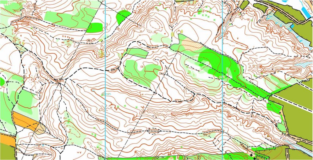
Topographic surveys are what most people think of when they think of surveys. These are more like those used in maps, focusing on elevation composed of contour lines on a plot. They show landmarks, both man-made and natural. Things like buildings, fences, land contours, trees and streams. People use these types of surveys to design improvements and create new developments.

To find out more about land surveys, please contact us at (800) CALVADA or visit www.calvada.com.

Calvada proudly serves Corona and all surrounding areas.
Do You Need a Land Survey? | Corona, CA

If you own land, you would think it is fairly unlikely that you will need to get a land survey done. That sort of thing generally goes hand in hand with buying property. Nothing is ever mentioned about it afterwards. Believe it or not, there are plenty of really good reasons you should make sure your land is professionally surveyed, besides just being safe than sorry. Below are a few of the more common ones:

Neighbor disputes. One thing you can never be too sure about when buying property are the neighbors. If you get along, great. If you don’t and a conflict comes up, it can be a nightmare. When it comes to fence installations, landscaping updates or any other exterior upgrades along property lines, a land survey will undoubtedly solve your neighbor dispute – it’ll tell you where those property lines are.

Tax benefits. As you may have noticed from your property taxes, they change. That can be due to inflation, new construction, remodels and various other factors. Presenting this survey when taxes are being assessed will be handy. If you protest your tax increase will certainly encourage them to keep your taxes down.

Determine land size. When researching homes, determine the price per square foot for the actual house and the property. The County Assessor Office is not always correct, so don’t consider information on their website final word.

Liability. Land surveys are conducted and guaranteed by a licensed professional surveyor. If you ever go to court over a land dispute, like with a neighbor, your professional land survey will surely be addressed.

To find out more about becoming a land survey, please contact us at (800) CALVADA or visit www.calvada.com.

Calvada proudly serves Corona and all surrounding areas.