Staying Safe on the Job Site | Corona, CA

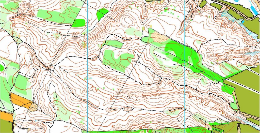
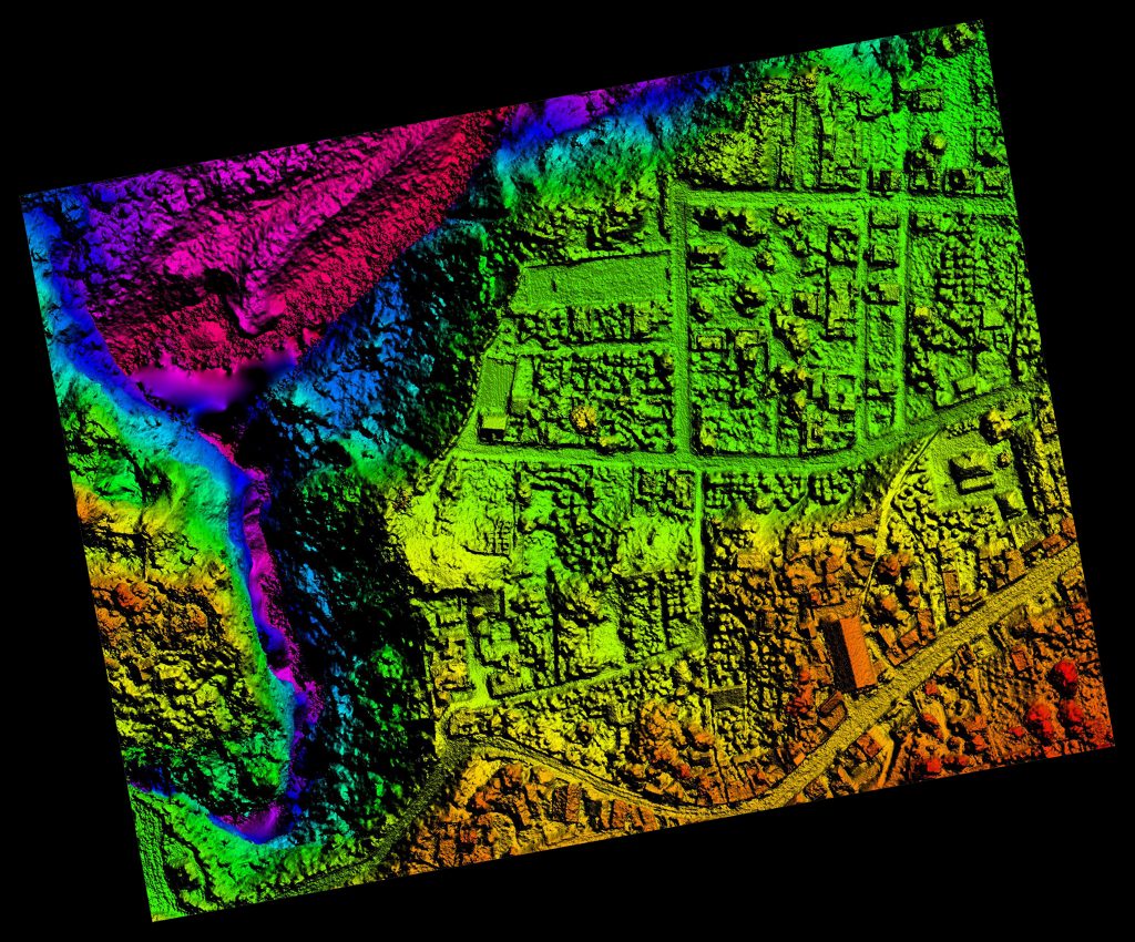
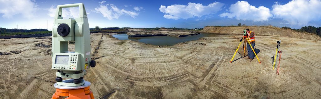
Regardless of the industry, there are on-the-job hazards that everyone needs to be aware of. But there is something that feels a bit more dangerous than other jobs. After all, you are surveying land. Who knows what is out there in that land? These are the common injuries that can happen if you are a land surveyor on the job:

  • Moving equipment
  • Dropped objects
  • Slips, trips and falls
  • Hand injuries from stakes
  • Eye injuries from flying debris

We need everyone to stay safe, so we are taking a moment to give you some simple tips to keep in mind while you are on the job. Because it may not be dangerous to survey land, it is the hazardous construction sites that are really the cause for many injuries that occur.

When possible, have equipment stop when it is required to survey close to moving equipment. Plan out work tasks during times that the construction crews aren’t actively working.

Always communicate about the plans for surveying that day. Communication allows for planning, as well as awareness between work groups of other people entering a work area. Make contact with operators when entering a work area.

Objects on higher work levels need to be secured and proper guardrail systems with toe boards need put into place to protect personnel below.

To prevent slip, trip, fall injuries practice good housekeeping.

Eliminate dust by using water to suppress it. Avoid working downwind from moving equipment to avoid eye injuries. Wear proper safety glasses with side shields. Never rub your eye if you get dust in it. Notify a supervisor and rinse the eye with the proper eyewash solution.

To find out more about land surveying dangers, please contact us at (800) CALVADA or visit www.calvada.com.

Calvada proudly serves Corona and all surrounding areas.

Why We Need to Survey Land | Corona, CA

We all know that in order to develop land, you need to know the boundary lines in which you can expand and what kind of land you are trying to develop. This is when a land survey comes in handy. Not only do surveys help plot out the land but surveyors are used in the design and planning of said land to make room for things like roads, utilities and landscaping. It may seem like a new concept, but surveys have been needed since the beginning of civilization.

Land surveys have dated back thousands of years to Egyptian surveyors dividing land along the Nile River and Australian surveyors trying to design their early settlements. Even famous explorers like Burke and Wills used their surveying background in their work. Yes, the tools and equipment may have changed over the years, but we’ve needed land surveying for as long as we’ve had land to develop.

But why are they so intricate to creating our structures? It isn’t just about plotting open spaces to place buildings and other structures upon. Surveyors work with lots of other important industries like engineering, geology, architecture and planning in order to create a successful construction site. They measure the land and map it all out before anyone even steps foot on the site. These findings are given to the architects, who create a blueprint based on the needs of the client. Once complete, engineers use those plans to create a structure that will be successful based on the land available. So, as you can see, land surveys are the environmental trackers of structural design.

To find out more about considering a land survey, please contact us at (800) CALVADA or visit www.calvada.com.

Calvada proudly serves Corona and all surrounding areas.

Land Surveyors and Boundary Lines | Corona, CA

When you purchase land, you are given the size of the plot, but you may not get exact measurements. To get that measurement down to the inch, they need to enlist the services of land surveying companies. When a land surveyor comes to your home, they’ll perform the following tasks:

  • Acquire initial survey from county municipalities. A survey is required for the original plotting of land and will have dimensions pulled from landmarks or stakes around your home, some of which still exist.
  • Use special equipment to pull exact dimensions from different points around the house. Map those points with spray paint or stakes.
  • Sign and file the survey and update it with county authorities and financial institutions.

If a property owner were to make changes on closely approximated land, like mistakenly erecting a fence on a neighbor’s property could lead to trespassing charges and the complete loss of your investment if a neighbor wants to destroy the fence. In order to alleviate any neighborhood headaches, a professional boundary survey would be the ideal solution. A professional boundary survey lays out the exact perimeter of land and is documented and certified by a state accredited surveyor, so there is no discrepancy about where your property ends and theirs begins. Regardless of your intentions on expanding on your land, it’s always a good idea to know exactly how large it is.

In closing, here are some things to keep in mind:

  • Professional land surveyors can determine the exact boundaries of your property.
  • Banks require documentation of boundary lines in order to refinance a home.
  • Before taking on a project, homeowners should know the specifications of their property lines to avoid encroachments.

To find out more about considering a boundary survey, please contact us at (800) CALVADA or visit www.calvada.com.

Calvada proudly serves Corona and all surrounding areas.

Land Surveys: Are They Necessary? | Corona, CA

When deciding to purchase land it is important to know what you’re buying into, just like any other major investment. How large is the area, what kind of terrain is involved, and what does the surrounding area consist of? To find these answers, it is likely that you’ll need a land survey. I know what some may think – but is a survey really necessary?

When new land is being divided into various developments, it is important to have the land surveyed in order to ensure the land is used beneficially. Not only do surveys help plot out the land but surveyors are used in the design and planning of said land to make room for things like roads, utilities and landscaping. Yes, it may seem like a new-found industry, but we’ve needed land surveying for as long as we’ve had land to develop.

But why are they so intricate to creating our structures? Believe it or not, but it isn’t just about plotting open spaces to place buildings and other structures upon. Surveyors work with lots of other important industries like engineering, geology, architecture and planning in order to create a successful construction site. They measure the land and map it all out before anyone even steps foot on the site. These findings are given to the architects, who create a blueprint based on the needs of the client. Once complete, engineers use those plans to create a structure that will be successful based on the land available. So, as you can see, land surveys are the environmental trackers of structural design.

To find out more about considering a land survey, please contact us at (800) CALVADA or visit www.calvada.com.

Calvada proudly serves Corona and all surrounding areas.

The Benefits of a Land Survey | Corona, CA

When looking to purchase a plot of land, it is important to know what you’re buying. Unfortunately, this isn’t something that can be seen with the naked eye. There are property lines and various other factors that all play a part in purchasing land in order to build upon it. This is where land surveys come into play. Before you buy land, you want to know how large it is. To find this out, you need to know the precise property lines to determine a plot of land’s acreage and value. Here are a couple of others you may want to consider:

Does it fit your needs?

Your purchase is going to depend on what you want to build on it. If you want to build a house, you don’t want sloped land, but if you want to build a winery, you would for drainage. Having the survey done will not only point out the slope but the directions of the slope.

Yes, even the direction of the slope can matter. People who farm need to pay close attention to whether sloped land faces north or south.

Where can you build?

Building structures like houses, barns, and sheds can improve the land’s usefulness and value significantly. You need to know the location of underground pipes and utility lines. Without that knowledge, you could break ground on a major waterline.

A land survey provides the information that you need to choose the right locations for your structures. What you learn about your land could help you save money and finish your construction project faster.

To find out more about considering a land survey, please contact us at (800) CALVADA or visit www.calvada.com.

Calvada proudly serves Corona and all surrounding areas.