When purchasing a building, it is natural to get a survey done to flag any issues the edifice has prior to signing any agreement. When it comes to a plot of vacant land, it is natural to think a survey isn’t necessary as the land is empty. Unfortunately, there are things about this plot of land you may not be able to see by just walking it and only a certified land surveyor can give you those answers.
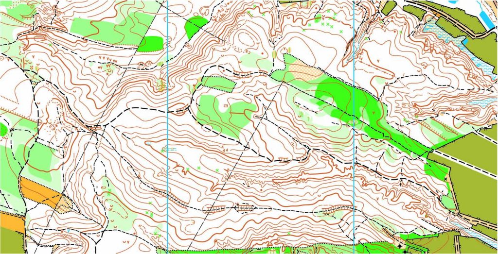
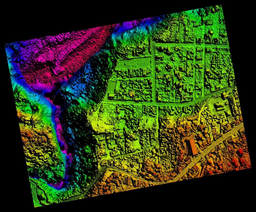
An ALTA/ASCM survey (American Land Title Association/American Congress on Surveying and Mapping) is the most comprehensive survey and is commonly recommended to the purchaser. Table A is a specific set of ALTA survey options you may want to know about, like flood zones or your neighbors. As you can see, this survey will not only show property lines, but easements, encroachments or other boundary issues that may affect your property or how the land is developed.
An easement is created when a landowner grants another party permission to use a certain portion of land for a specified purpose. This type of occurrence could be anything from a shortcut through the property to access to certain amenities. The details of these easements on the property, not the agreement itself, will be included in the survey.
An encroachment is a property improvement that partially lies on an adjacent property, without the adjacent owner’s permission. An example of this would be fencing meant to designate property lines that partially falls on the neighbor’s property in areas.
Once a survey is conducted, you can approach a purchase with more knowledge about what you are purchasing. If there are issues, they can be negotiated in order to prevent buyer’s remorse.
To find out more about purchasing land, please contact us at (800) CALVADA or visit www.calvada.com.
Calvada proudly serves Corona and all surrounding areas.