Why We Need to Survey Land | Corona, CA

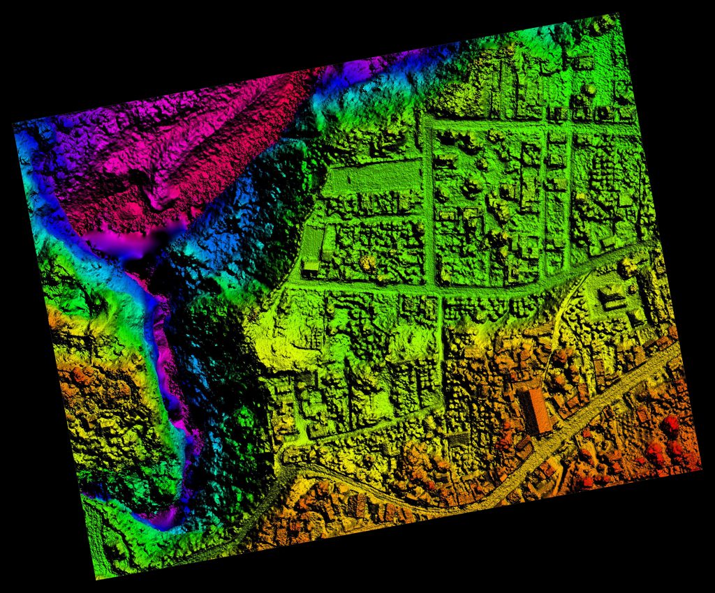
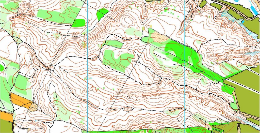
We all know that in order to develop land, you need to know the boundary lines in which you can expand and what kind of land you are trying to develop. This is when a land survey comes in handy. Not only do surveys help plot out the land but surveyors are used in the design and planning of said land to make room for things like roads, utilities and landscaping. It may seem like a new concept, but surveys have been needed since the beginning of civilization.

Land surveys have dated back thousands of years to Egyptian surveyors dividing land along the Nile River and Australian surveyors trying to design their early settlements. Even famous explorers like Burke and Wills used their surveying background in their work. Yes, the tools and equipment may have changed over the years, but we’ve needed land surveying for as long as we’ve had land to develop.

But why are they so intricate to creating our structures? It isn’t just about plotting open spaces to place buildings and other structures upon. Surveyors work with lots of other important industries like engineering, geology, architecture and planning in order to create a successful construction site. They measure the land and map it all out before anyone even steps foot on the site. These findings are given to the architects, who create a blueprint based on the needs of the client. Once complete, engineers use those plans to create a structure that will be successful based on the land available. So, as you can see, land surveys are the environmental trackers of structural design.

To find out more about considering a land survey, please contact us at (800) CALVADA or visit www.calvada.com.

Calvada proudly serves Corona and all surrounding areas.

Land Surveyors and Boundary Lines | Corona, CA

When you purchase land, you are given the size of the plot, but you may not get exact measurements. To get that measurement down to the inch, they need to enlist the services of land surveying companies. When a land surveyor comes to your home, they’ll perform the following tasks:

  • Acquire initial survey from county municipalities. A survey is required for the original plotting of land and will have dimensions pulled from landmarks or stakes around your home, some of which still exist.
  • Use special equipment to pull exact dimensions from different points around the house. Map those points with spray paint or stakes.
  • Sign and file the survey and update it with county authorities and financial institutions.

If a property owner were to make changes on closely approximated land, like mistakenly erecting a fence on a neighbor’s property could lead to trespassing charges and the complete loss of your investment if a neighbor wants to destroy the fence. In order to alleviate any neighborhood headaches, a professional boundary survey would be the ideal solution. A professional boundary survey lays out the exact perimeter of land and is documented and certified by a state accredited surveyor, so there is no discrepancy about where your property ends and theirs begins. Regardless of your intentions on expanding on your land, it’s always a good idea to know exactly how large it is.

In closing, here are some things to keep in mind:

  • Professional land surveyors can determine the exact boundaries of your property.
  • Banks require documentation of boundary lines in order to refinance a home.
  • Before taking on a project, homeowners should know the specifications of their property lines to avoid encroachments.

To find out more about considering a boundary survey, please contact us at (800) CALVADA or visit www.calvada.com.

Calvada proudly serves Corona and all surrounding areas.