Welcome to Calvada
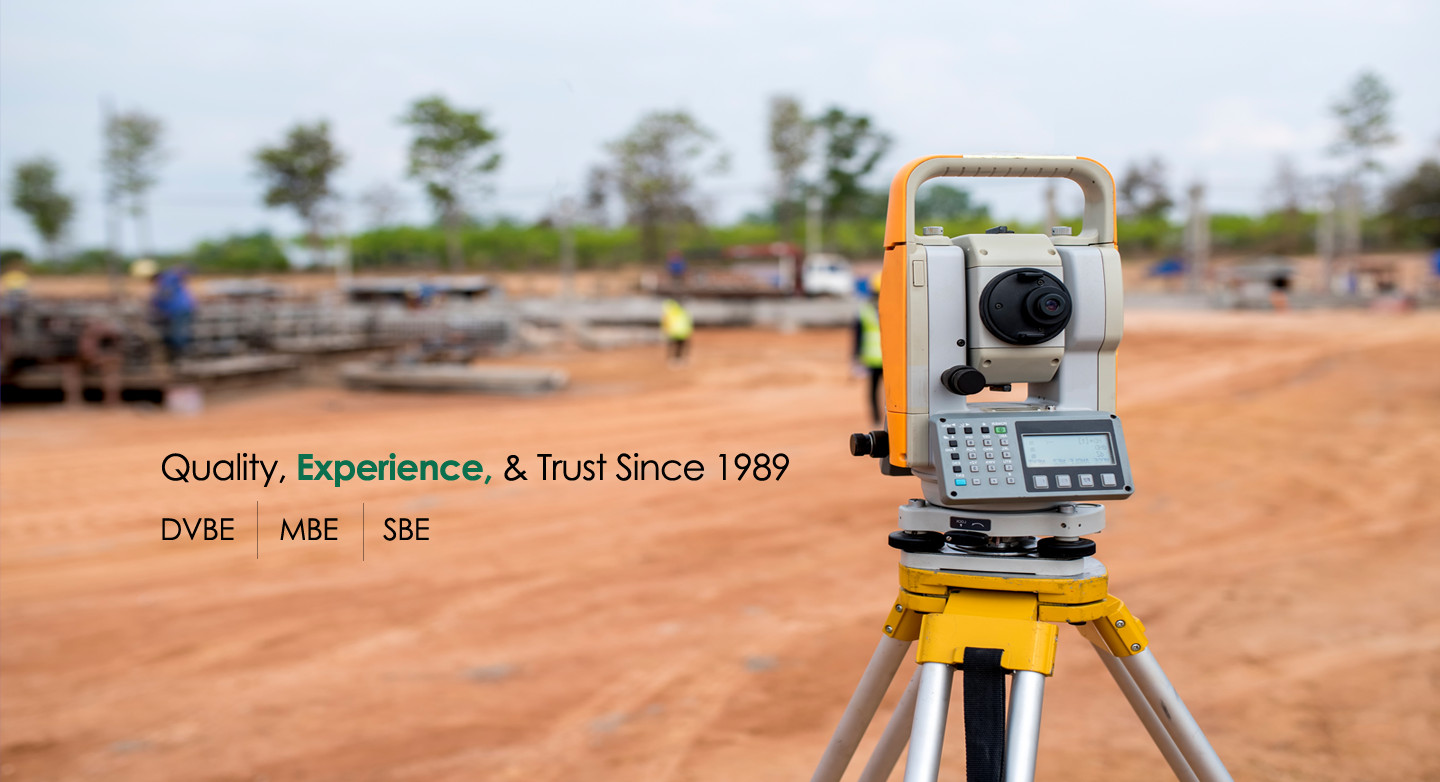
Calvada Surveying is a DVBE, MBE, and SBE.
Our company’s mission is to use our experience and expertise to set the standard for excellence in the industry by providing the highest quality and most efficient land surveying services. By doing so, we are confident that Calvada Surveying is the firm you should turn to for all your land surveying needs.
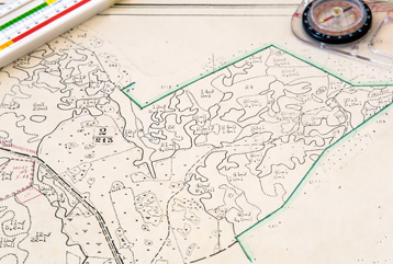
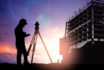
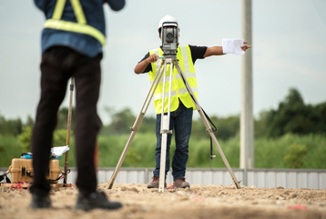
No other land surveying firm offers the same level of professionalism as Calvada, providing each client the highest quality service on every project. We work in numerous industries including engineering, development, real estate, environmental, telecommunications, and many more. We are professional and highly trained land surveyors specializing in the most advanced land surveying techniques and technologies. We provide ALTA/NSPS land title surveys, topographic surveys, boundary surveys, telecommunication surveys, construction staking, subdivision mapping, aerial surveys, environmental surveys, and high definition 3D scanning services to name a few.
Considered one of the leading land surveying firms in the Western United States, we offer services to clients throughout the region. We are trusted surveyors in business since 1989, providing land surveying services in Arizona, California, Colorado, Idaho, Nebraska, Nevada, New Mexico, Oklahoma, Oregon, Texas, Utah, Washington and Wyoming for over three decades. We provide each of our clients access to the highest quality services and our land surveyors are experts in a wide range of land surveying techniques for projects and properties of any size.
We are always on the lookout for the latest and most innovative technologies to provide the most up to date services for our clients. Our previous work speaks for itself and our firm continually receives repeat business and referrals from private and public clients including property owners, developers, land brokers, general contractors, engineers, architects, attorneys, and governmental agencies. This serves as a testament to our well-kept service philosophy to provide each client with competitively priced, superior quality surveying services that meet deadlines and project requirements.
With Calvada Surveying, you have a professional land surveying firm you can trust for all your surveying needs.
Call us today to find out more about our professional services.